Our Notes & References
THE FIRST MAJOR WORK ON THE CAUCASUS, WITH 60 PLATES, INCLUDING THE FIRST LARGE VIEW OF TIFLIS, SUPERBLY RENDERED IN LITHOGRAPHY.
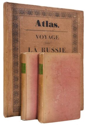
A FINE COPY, COMPLETE WITH THE TWO-VOLUME TEXT AND THE ATLAS IN CONTEMPORARY PUBLISHER’S BINDING.
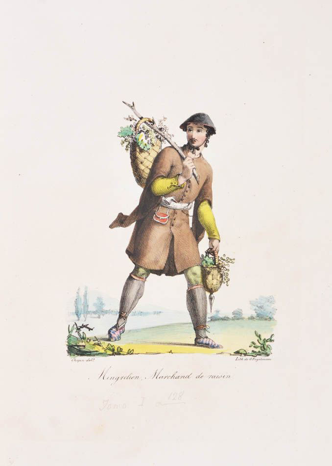
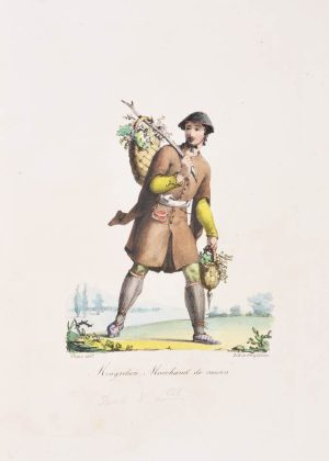
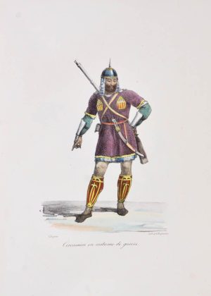
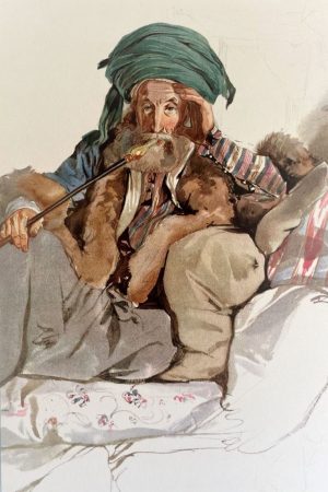
The numerous lithographed plates illustrate the coasts of the Black Sea and the Caucasus, showing landscapes, towns, nature and above all, local costumes rendered in contemporary watercolour. Various maps, including large folding ones, detail different parts of the region.
Jacques François Gamba (1763-1833) made two trips to southern Russia: in 1817 on the instructions of the Duke of Richelieu, former governor of Odessa, and again in 1819 before becoming consul in Tiflis. The book brings together his observations from these two visits, offering an important European perspective on these previously closed provinces, often considered wild and dangerous at the time and at the beginning of the Russian colonisation. Gamba “travelled the length and breadth of this region, collecting a great number of useful documents for trade and industry” (Hoefer).
He travelled to Circassia, Abkhazia and Mingrelia (provinces of Georgia), taking advantage of Russia’s loosening of its embargo on the southern Caucasus regions to develop new trade relations with France. He was in favour with the representative of the Russian forces in the Caucasus, Aleksei Petrovich Ermolov, and the text offers a pro-Russian perspective on the Abkhaz resistance. The work is also one of the most important books on Georgia, thanks to the quality of its historical analysis and its many illustrations – including the famous large view of Tbilisi, often missing because it would be hung on the wall.
“Ochen redkoe i krasivoe izdanie” [Very rare and beautiful edition] (Solovev, marking the price of 80 rubles, a substantial sum in 1910).
Bibliography
Hoefer XIX 382-3 (“savant ouvrage”); Solovev cat. 105, 321.
Physical Description
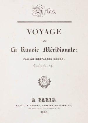
Two 8vo volumes (21 x 13.5 cm) and one atlas portfolio (37 x 28.5 cm). Maps in text vols.; atlas with 60 plates, incl. 34 in original colour. Complete.
Binding
Contemporary (publisher’s?) pink boards, flat spines, sprinkled edges; atlas in publisher’s printed boards.
Condition
A little faded and rubbed at extremities, spines ends a bit chipped, small hole on upper board of vol. 1; text with some foxing, stronger in some parts, large map with small tear without loss. Atlas: a little soiled and rubbed, spine and corners skillfully restored; most of the plates untrimmed, rare minimal foxing, large view of Tbilisi with a tear very well restored. A pleasant copy in its original binding.