Our Notes & References
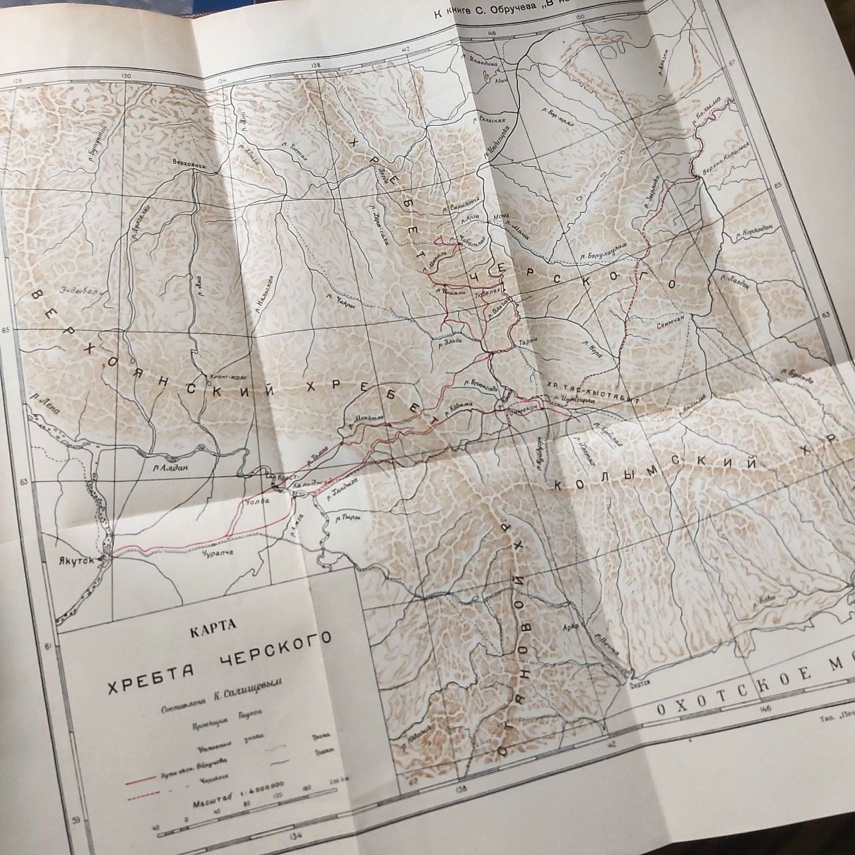
The north-eastern Siberian Chersky Range appears on the map: one of the last major explorations in Russia, a “remarkable discovery of a mountain range of which existing maps gave no indication” (The Geographical Journal).
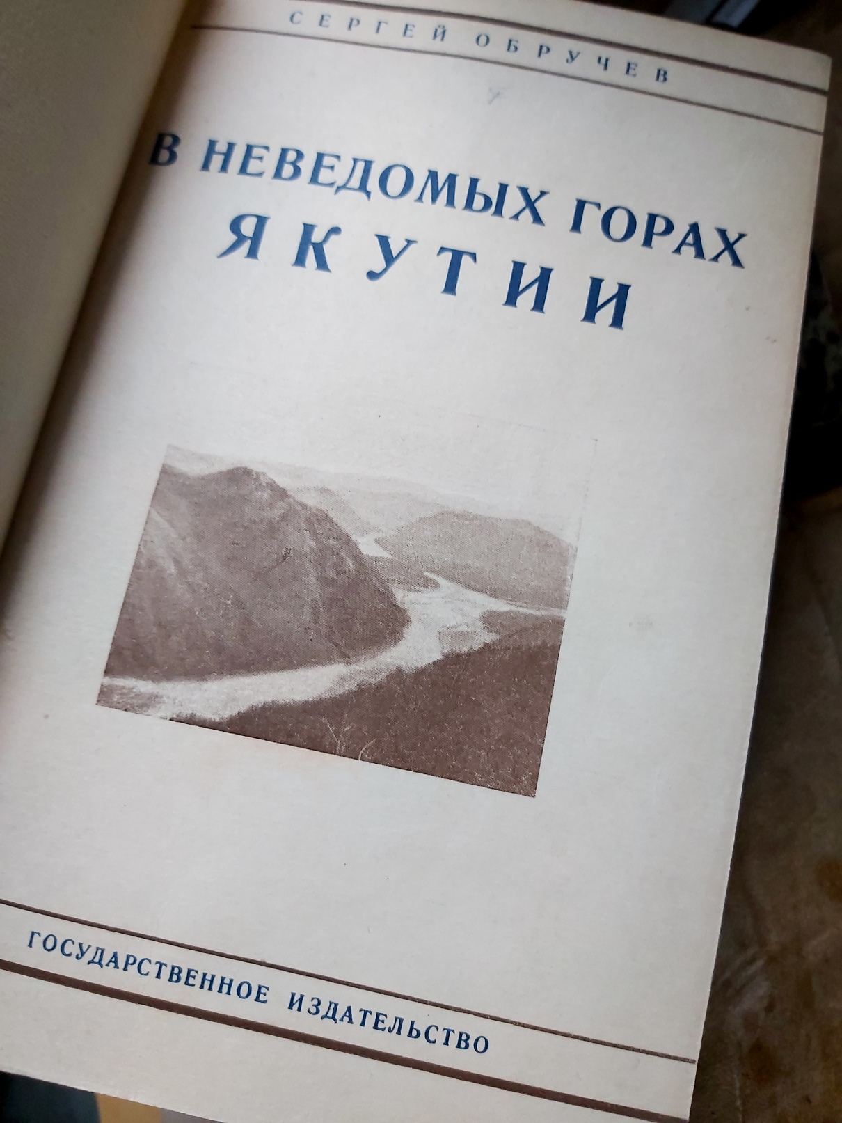
First edition of this scarce account, with the first detailed map of the Chersky Range, “the first attempt to give a true picture of the Indigirka [river] basin and the eastern part of the Verkhoianskii mountain range” (Obruchev, our translation here and below). The map was drawn by K. Salishchev, the surveyor of Obruchev’s expedition.
Led by the geologist and traveller Sergei Vladimirovich Obruchev (1891-1965), this 1926 expedition brought a team of explorers to the Indigirka River, “a region equal in area to France or Germany, and entirely unknown so far” (Obruchev) – and later proving to be gold-bearing. As a result of this laborious months-long trip on horsebacks and sledges, the last blank spot on the map of Russia was erased: Obruchev with his colleagues discovered on the site of a supposed lowland the ‘Kherbet Cherskogo’ [Chersky Range], a 1500 km long mountain system consisting of parallel ridges that stretch from the Iana River to the Kolyma Reservoir. As he wrote, “no geographer had any idea that such high mountains were located in Northern Siberia”. The range was named after Ivan Cherskii (1845-92), one of the earlier explorers who suspected its existence and died in the region during his scientific expedition to the Kolyma river in 1892.
The important expedition also relocated the Northern Hemisphere’s Pole of Cold to Oimiakon (the coldest settlement on Earth with a permanent population), “identified four distinct mountain chains within the Verhoyansk range, proving it to be much more complex than had hitherto been supposed, and […] found traces of extensive post-Tertiary glaciation” (The Geographical Journal).
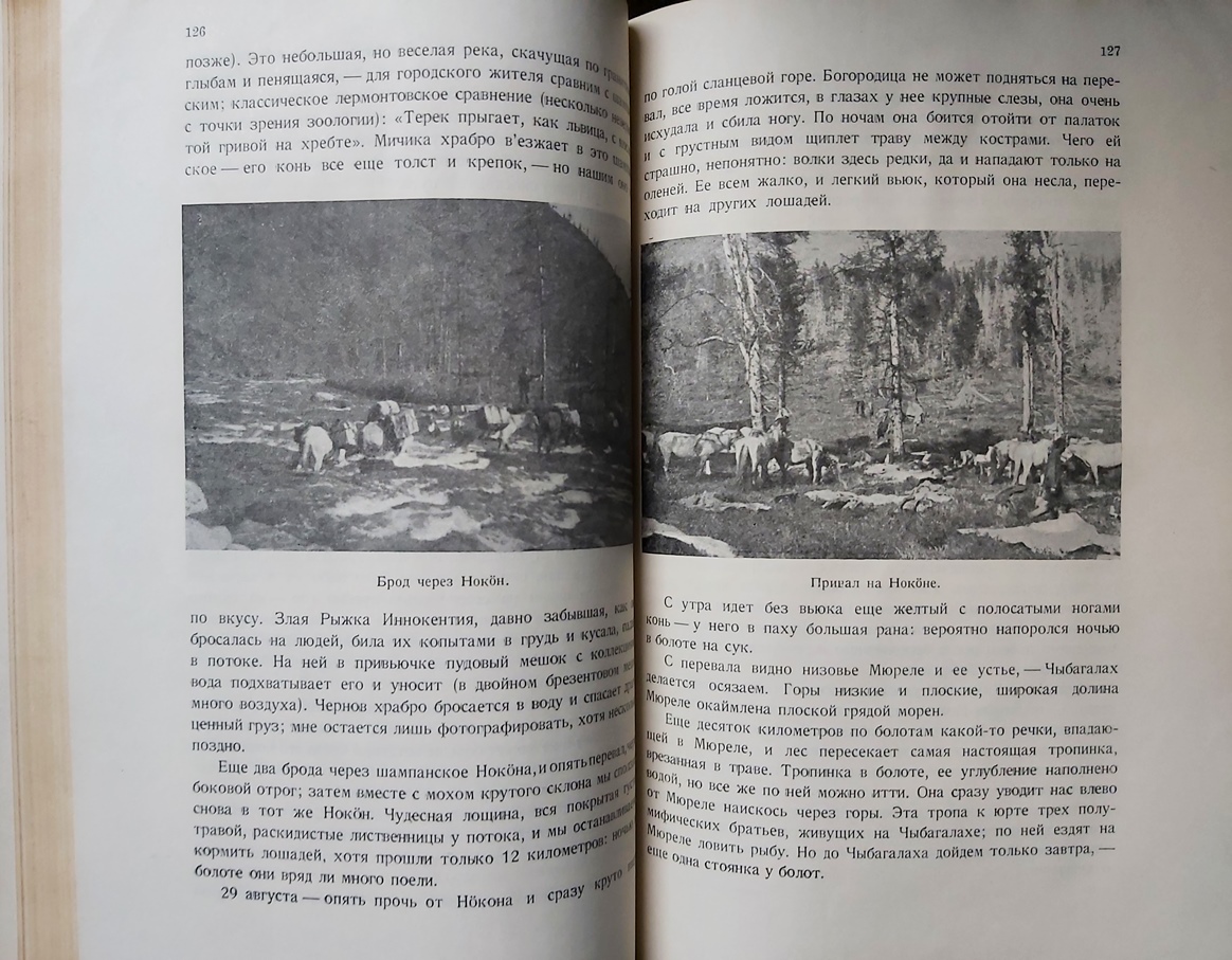
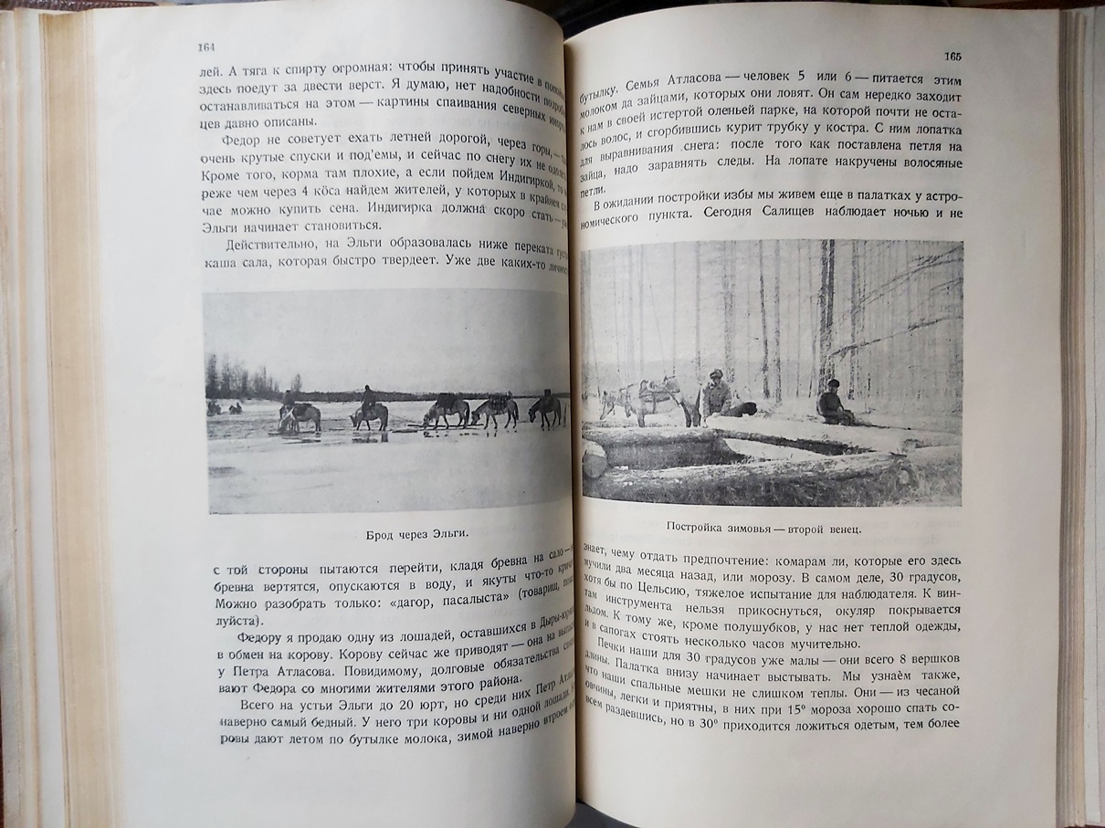
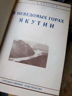
In addition to describing the terrain crossed, Obruchev’s detailed and engaging account also includes notes on the local inhabitants, their hardships, customs and manners. It is generously illustrated with maps and photographs taken by the expedition members and showing local Yakuts in their settlements, port town scenes, views, campsites and their construction and many other activities during the expedition. This first edition, complete with the important map, was published shortly after a brief account of Obruchev’s journey and discoveries in English in The Geographical Journal in 1927.
Scarce: published in ‘only’ 2000 copies, a rather low printrun for Soviet standards. We could not trace any copy at auction outside Russia; Worldcat locates 7 copies in the US and one at the BL.
Provenance
From the estate of Geoffrey Elliott (1939-2021), banker of Russian descent, author of books on 20th-c. history. Acquired from Maggs Bros. in 2014. Geoffrey and his wife Fay were noted collectors, especially of Oscar Wilde, Evelyn Waugh and other literary figures. Russia was also an important theme: Geoffrey’s grandparents were interned in a Siberian tsarist prison camp before the October Revolution, and he focused most of his published works on the Cold War.
The Elliotts donated a significant part of their collection to the library of Leeds University in 2002, but kept the Russia-related items, which we consequently acquired.
Bibliography
O. R. The Geographical Journal, vol. 74, no. 2, 1929, pp. 181–82. Obruchev, Sergei. “Discovery of a Great Range in North-East Siberia.” The Geographical Journal, vol. 70, no. 5, 1927, pp. 464–70.
Physical Description
Octavo (23.5 x 16 cm). 247 pp. incl. title and t.o.c., folding map, with many illustrations in text.
Binding
Original illustrated upper wrapper bound in later brown half calf over marbled boards, spine with raised bands and gilt rolls, lettering in gilt on spine.